Core Lab Team

Senior engineer and operations lead at DroneLab@UiO. Manages flight operations, regulatory compliance, training, photogrammetry & LiDAR processing pipelines, and GIS infrastructure.

Associate Professor and scientific lead at DroneLab@UiO. Focuses on ecohydrology, land-atmosphere trace gas exchange, greenhouse gas plume tracking, and UAV micro-meteorology.
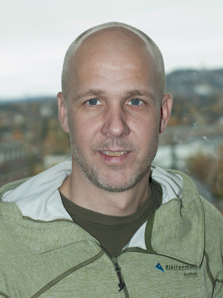
Field instrumentation engineer specializing in custom hardware integration, sensor payloads (GPR, Gas Spectrometers), airborne electronics, and field deployment logistics.
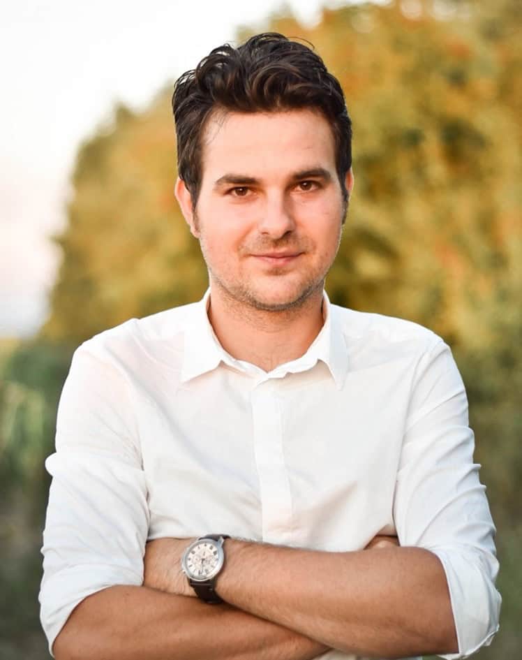
Postdoctoral researcher in geophysics, GIS, and aerial remote sensing. Specializes in applied geophysics, surface feature reconstruction, and spatial data integration.

Postdoctoral researcher developing probabilistic inversion frameworks and reinforcement learning algorithms for autonomous drone path planning and methane flux estimation.

PhD fellow working on active learning capabilities, hardware payload integration, machine learning for spatial data, and field mapping applications within the ACTIVATE team.

Doctoral research fellow working at the intersection of satellite Earth observation, UAV photogrammetry, probabilistic deep learning, and Earth system modeling.
General Enquiries & Collaboration
Have questions regarding drone bookings, custom flight planning, sensor integration, or research partnerships with DroneLab@UiO?