📋 Rental Terms & Pricing Guidelines (Valid from 2026-01-01)
- MatNat Faculty Rates: Prices listed below apply to internal projects within the Faculty of Mathematics and Natural Sciences (MatNat).
- External Pricing: For external users or commercial partners, multiply the listed daily rates by 3×.
- DroneLab Pilot / Training Fee: If hiring a DroneLab pilot for a task or field training session, a fixed fee of 4,450 kr/day is charged to the project.
- Billing Duration: Equipment is charged per day of use (unless extended idle time is agreed upon). Bulk or long-term rental discounts are evaluated case-by-case.
Drones with Integrated Sensors
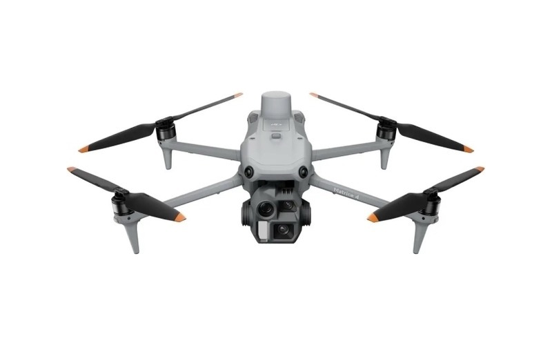
DJI Matrice 4 Enterprise (M4E) 🔗
800 kr / dayCompact enterprise drone. Easy to deploy, comes with hard case & 6 batteries.
- Photogrammetry Camera: 4/3 RGB (5280×3956), 24mm eq, mechanical shutter
- Telephoto Lenses: 70mm medium (3x) & 168mm tele (7x)
- Navigation: RTK GNSS (NTRIP or D-RTK 2 / Emlid RS3/RS4)
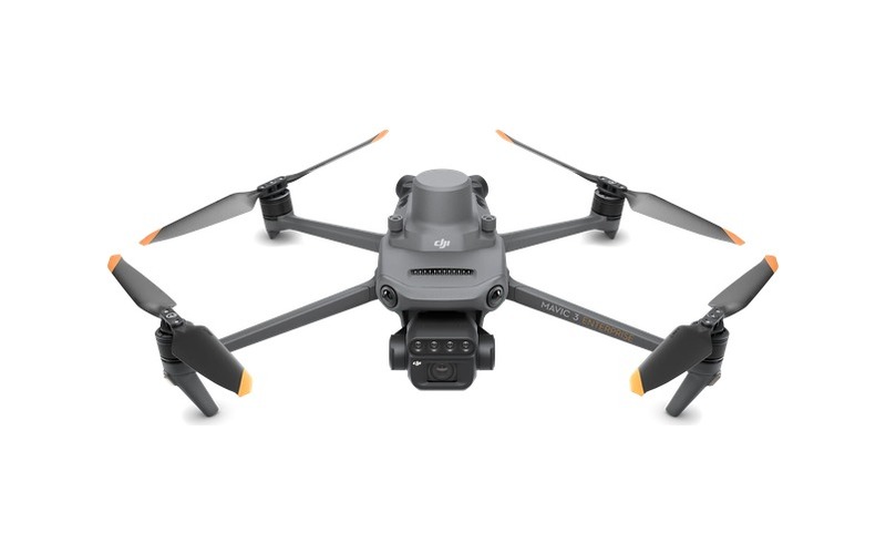
DJI Mavic 3 Multispectral (M3M) 🔗
800 kr / dayAgricultural & vegetation vigor mapping platform with hard case & 6 batteries.
- RGB Camera: 20MP 4/3 CMOS with mechanical shutter
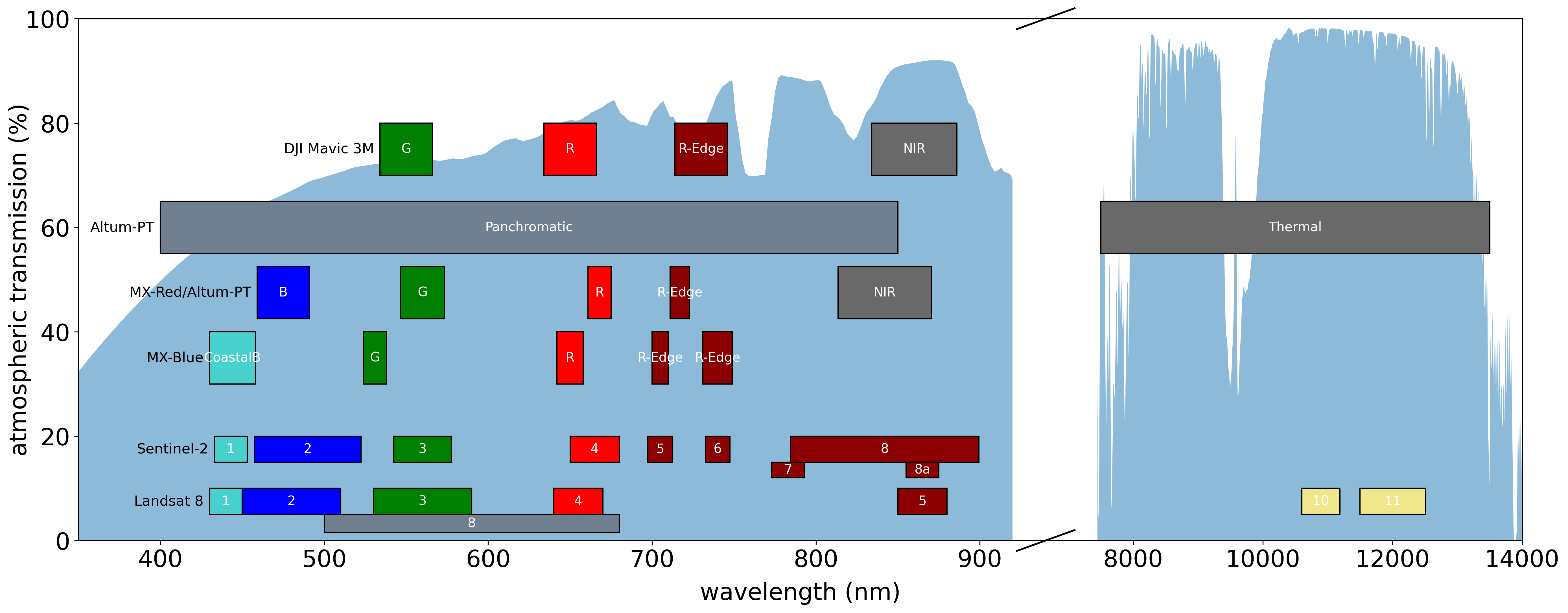
- Multispectral (4 Bands): Green (560nm), Red (650nm), Red Edge (730nm), NIR (860nm)
- GSD: 6.66 cm/px at 120m (Pansharpening supported)
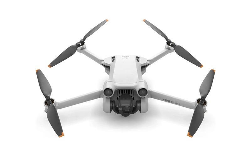
DJI Mini 3 Pro (Mini3P) 🔗
110 kr / daySub-249g ultralight drone for quick visual reconnaissance and tight area scouting.
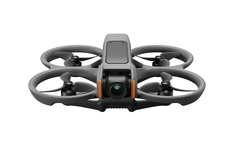
DJI Avata 2 (Avata2) 🔗
110 kr / dayFPV drone with Goggles (2 pairs for pilot + observer). Motion Controller 3 or FPV Controller 3.
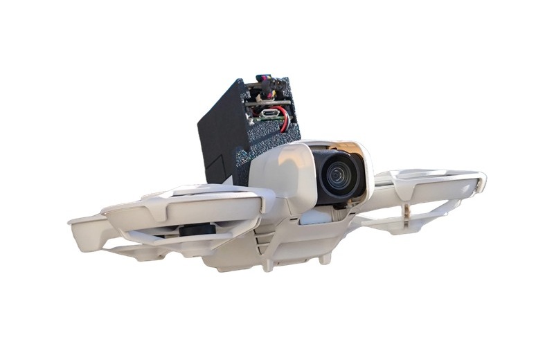
DJI Neo (Neo) 🔗
110 kr / dayTiny drone with enclosed propellers. Custom-modified with a Raspberry Pi Pico backpack & temperature sensors.
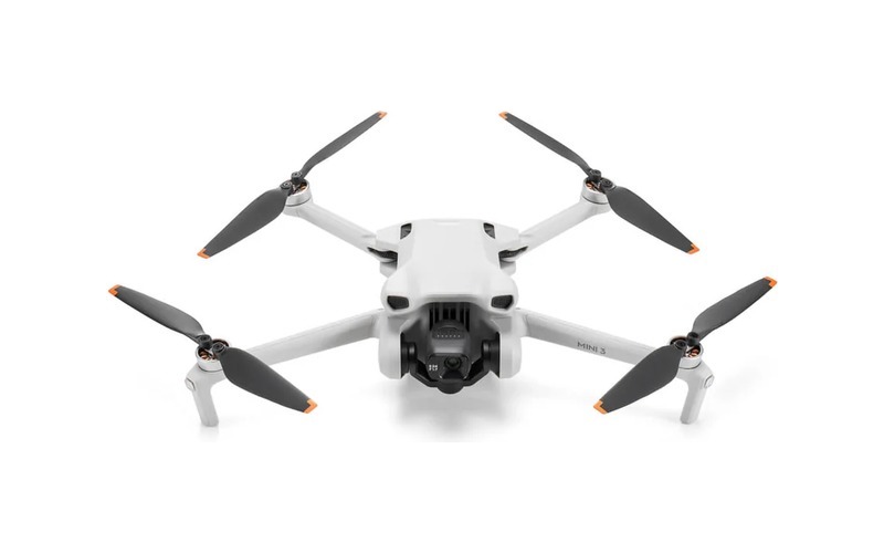
DJI Mini 3 (Mini3) 🔗
110 kr / daySub-249g drone owned & maintained by Luca Menegon's research team (luca.menegon@geo.uio.no).
Drones with Customizable Payloads
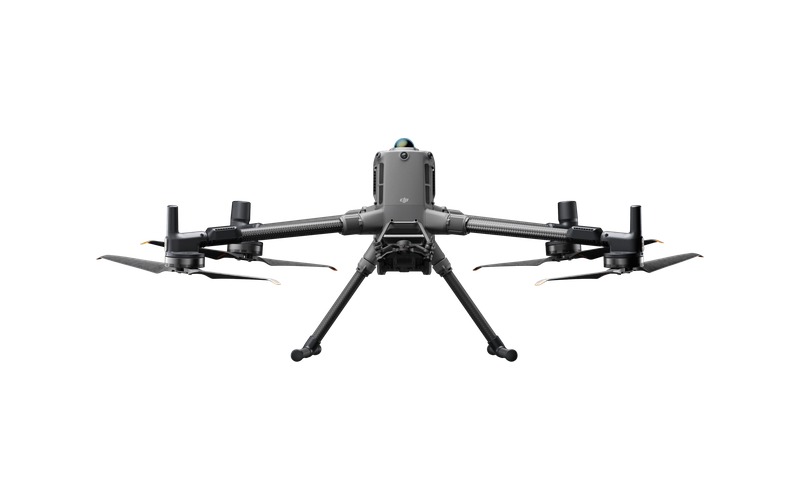
DJI Matrice 400 (M400) 🔗
1,750 kr / dayHeavy-lift platform. Supports up to 3 simultaneous downward gimbals. Requires training to operate.
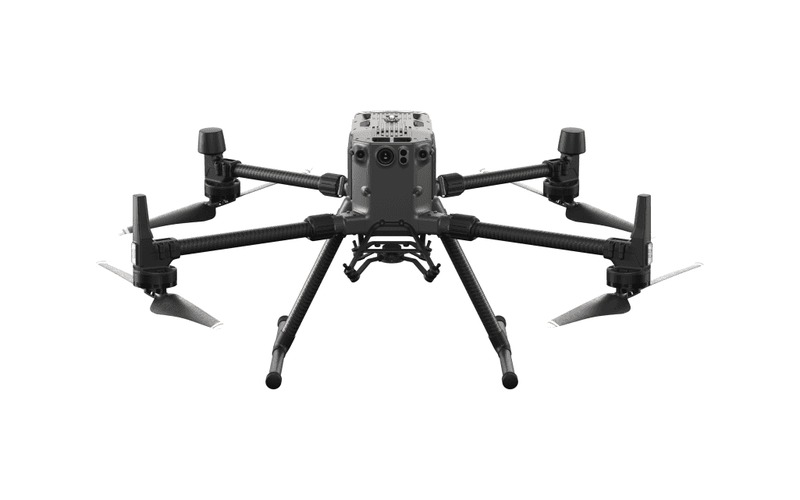
DJI Matrice 300 RTK (M300RTK) — 2 Units 🔗
1,200 kr / dayWorkhorse enterprise aircraft. Dual downward gimbal + single upward gimbal configurations.
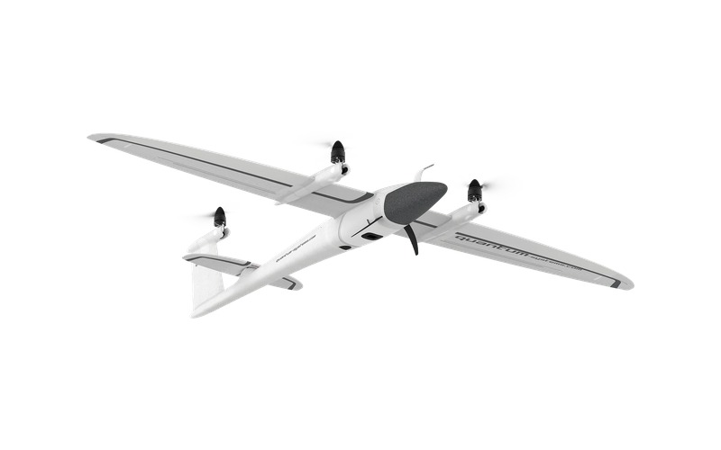
Quantum Systems Trinity F90+ (F90) 🔗
1,900 kr / dayFixed-wing Vertical Take-Off & Landing (VTOL) drone for wide-area coverage & long endurance missions.
Detachable Payloads & Sensors
📡 Multispectral & Thermal Spectral Band Coverage
Our multispectral payload fleet (MicaSense Altum-PT, MX-Red/Blue Dual System, and Mavic 3M) spans crucial atmospheric transmission windows. Band configurations directly mirror satellite observation channels (Sentinel-2 and Landsat 8) for cross-platform calibration and atmospheric correction.
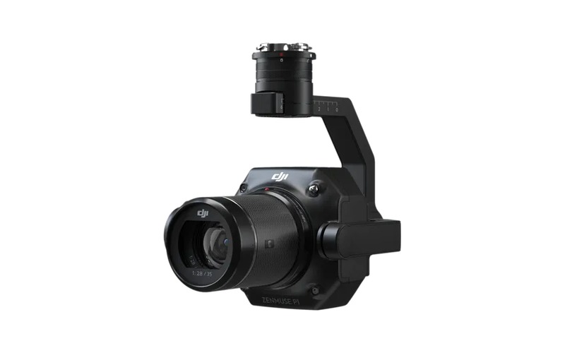
DJI Zenmuse P1 (P1) 🔗
1,200 kr / dayFull-frame 45MP photogrammetric RGB camera for M300RTK / M400 with 35mm lens.
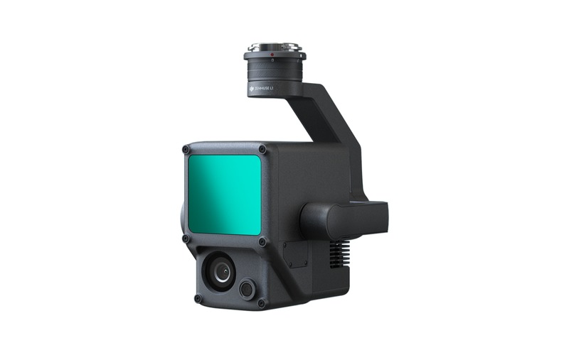
DJI Zenmuse L1 (L1) 🔗
1,200 kr / dayLiDAR & 20MP RGB camera module for M300RTK / M400 terrain & vegetation modeling.
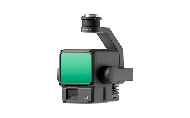
DJI Zenmuse L2 (L2) 🔗
1,750 kr / dayNext-gen high-precision LiDAR + 4/3 CMOS RGB mapping sensor for M300RTK / M400.
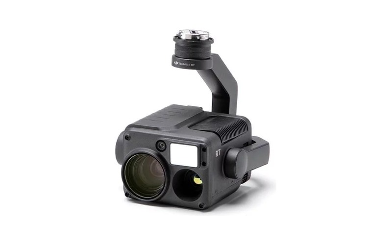
DJI Zenmuse H20T (H20T) 🔗
1,200 kr / dayQuad-sensor inspection payload: Radiometric Thermal, 23x Zoom, Wide RGB, and Laser Rangefinder.
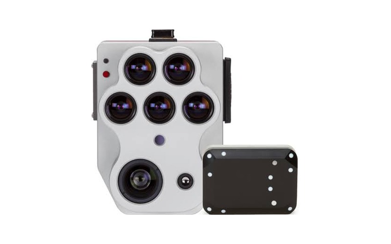
MicaSense Altum-PT (Altum) 🔗
1,750 kr / daySynchronized 5-band multispectral, panchromatic, and FLIR LWIR thermal sensor for M300RTK / F90.
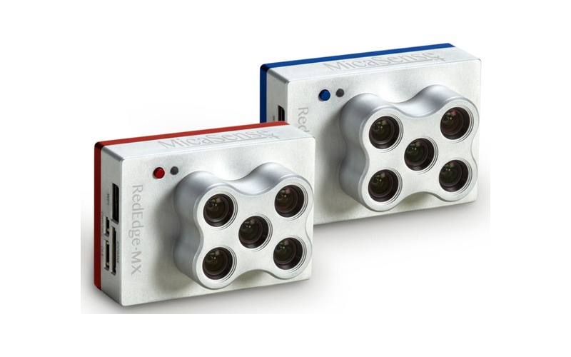
MicaSense Dual Camera System (MicDual) 🔗
1,200 kr / day10-band spectral capture system (MX-Red + MX-Blue) for advanced vegetation research.
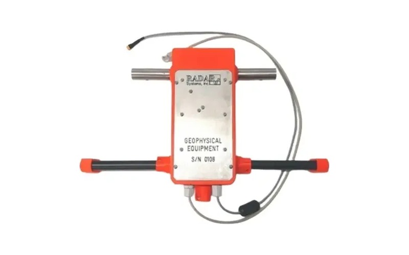
SPH Zond Aero LF GPR (ZOND) 🔗
5,250 kr / dayUnshielded Ground Penetrating Radar for M300RTK. Frequencies: 75MHz to 300MHz.
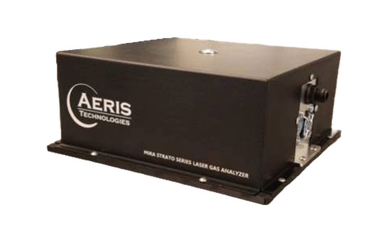
Aeris MIRA Strato LDS (AERIS) 🔗
5,250 kr / dayAirborne Methane (CH4) & Ethane (C2H6) laser spectrometer for M300RTK.
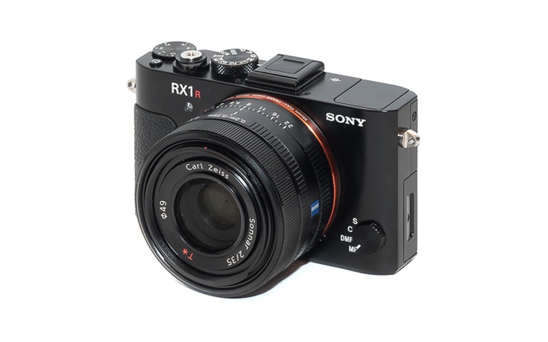
Sony RX1RII (RX1RII) 🔗
1,200 kr / day42MP full-frame 35mm RGB camera custom-tailored for Trinity F90+ fixed-wing.
Supporting Ground Equipment
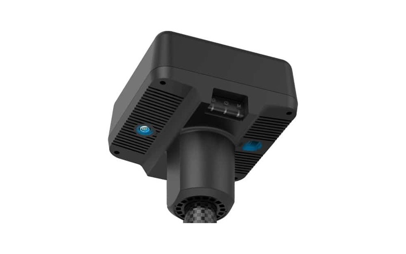
DJI D-RTK 2 Base Station 🔗
400 kr / dayHigh-precision GNSS base station for M300RTK, M4E, and P4RTK platforms.
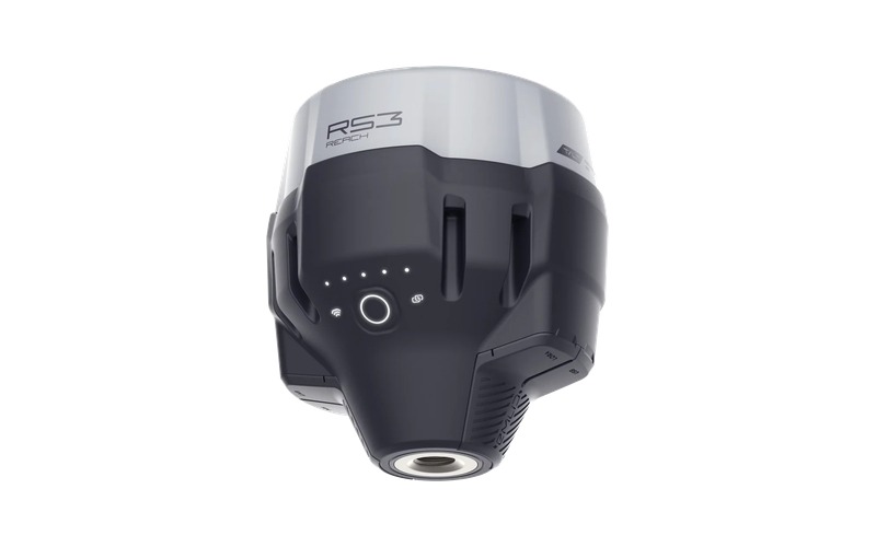
Emlid Reach RS3 Rover 🔗
400 kr / dayMulti-band RTK GNSS receiver with IMU tilt compensation. Functions as GCP rover or base.
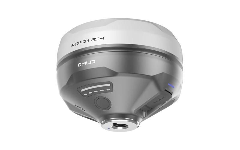
Emlid Reach RS4 🔗
400 kr / dayNext-gen multi-band RTK GNSS receiver with tilt compensation for rapid field surveys.
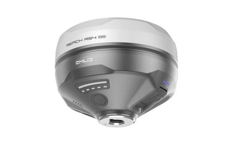
Emlid Reach RS4 Pro 🔗
400 kr / dayAdvanced RTK GNSS receiver featuring integrated visual positioning cameras & tilt compensation.
Legacy & Deprecated Aircraft
DJI Mavic 2 Enterprise Advanced (M2EA) 🔗
800 kr / dayDeprecated by M4E. Thermal (640×512) & 48MP RGB. Category A3.
DJI Phantom 4 RTK (P4RTK) 🔗
800 kr / dayDeprecated by M4E. 20MP 1-inch RGB photogrammetry drone. Category A3.
DJI Mavic Pro (MP) 🔗
LegacyNon-survey grade reconnaissance drone. Shoulder bag transport. Category A3.
Phantom 4 Pro V2 (P4P) 🔗
LegacyNon-survey grade visual drone. Backpack transport. Category A3.